THE BLUEPRINT OF A CITY

Before we jump into the story, let’s warm up with a few fun questions. Read the sentence and say if it is True or False.

Well done! Continue to the gate.
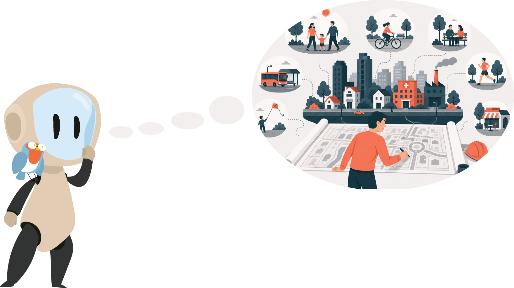
One bright morning, Eli and I were strolling through the city. Suddenly, we came across a large, colourful map of the area. It was full of symbols representing buildings, parks, and streets. “Look, Eli, this map is amazing!” I said, fascinated by the layout of streets and spaces.

I couldn’t help but wonder, “How are city maps like this created?” Eli, always excited by my questions, perched on the edge of the poster. “That’s a fantastic question, Riri! Designing a city plan requires careful planning and creativity.”
Eli began explaining, “First, we study the area where the city will be built. We need to understand its features—rivers, mountains, and other natural elements.” “So, the landscape comes first?” I asked, jotting down notes eagerly.
“Exactly! Once we know the terrain, we decide on the buildings we need—houses, schools, hospitals, and parks. Each has a unique role in people’s lives,” Eli said, pointing to different icons on the map.
I was intrigued, but the more I thought about it, the more questions I had. “Eli, how do planners decide where everything goes? What if the streets don’t connect properly, or there isn’t enough space for parks?”
eli fly
Eli flapped her wings thoughtfully. “Those are real challenges, Riri. Architects and planners need to carefully consider how people move around the city. Streets and roads must connect buildings so that it’s easy to get from one place to another. If the streets aren’t planned well, it can cause congestion and make the city less livable.”
I began to understand and said, “So, roads are like veins that carry people everywhere in the city?”
“Exactly!” Eli chirped. “But there’s more. Parks and recreational areas are also essential for people to relax and enjoy nature. If we don’t plan for green spaces early on, they might get left out.”
I noticed a large green area on the map and thought about the balance between buildings and open spaces. “What about infrastructure? How do planners make sure the city has enough water and electricity?”
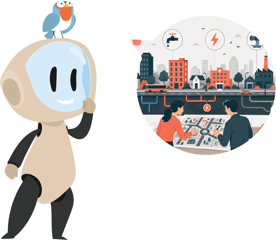
Eli smiled. “Great question! Infrastructure includes essential services like water, electricity, and sewage. These systems must align with streets and buildings. Engineers work closely with planners to ensure the city functions smoothly.”
As I listened, I started to realize just how much thought goes into creating a city. “Wow, Eli. A city plan isn’t just a drawing; it’s a blueprint for how people will live their lives!”
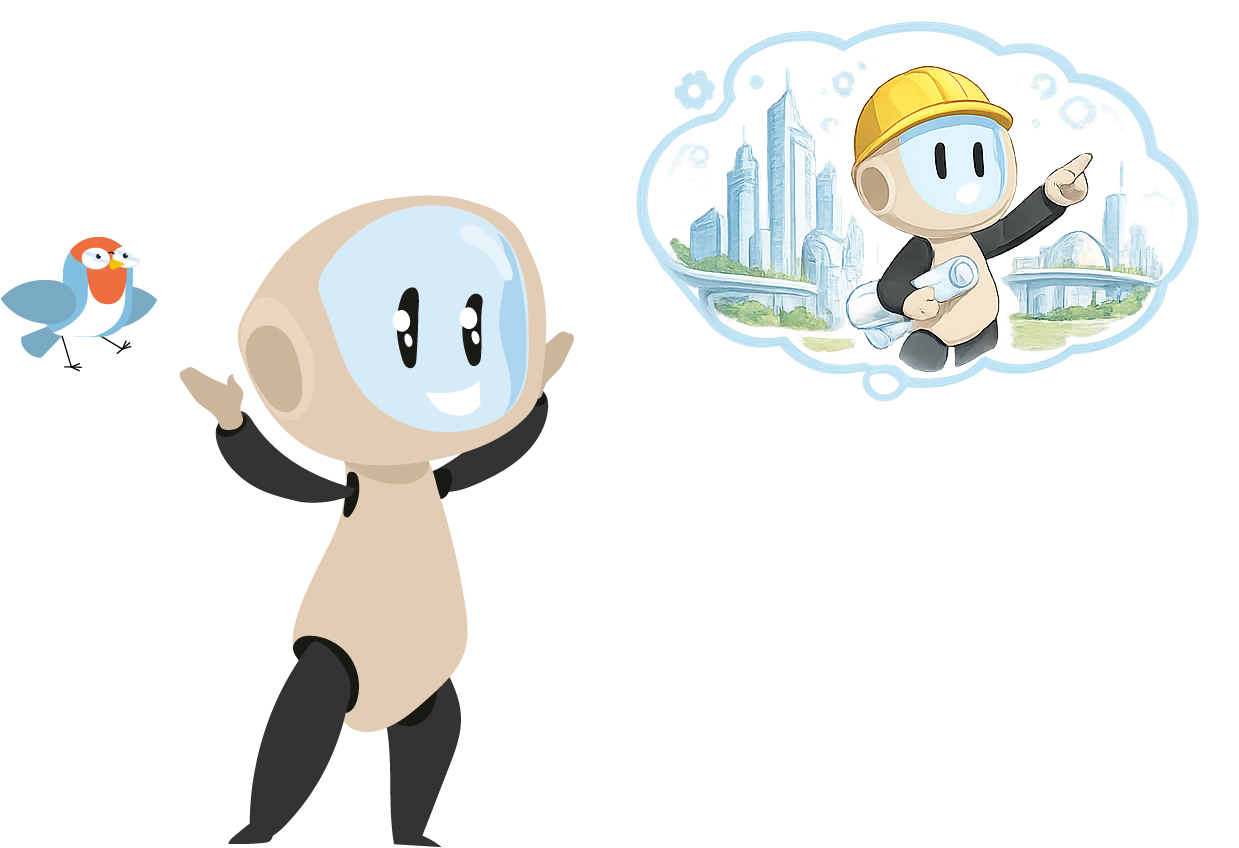
Eli continued, “The choices made in a city plan affect people’s quality of life. That’s why it takes teamwork—engineers, architects, and even citizens collaborate to create a city that works for everyone.” I was amazed. “I’d love to be part of designing a city one day,” I told Eli.
“What a great idea, Riri! I’m sure you’d do a wonderful job. Designing a city is a big responsibility, but it’s also an exciting opportunity to see ideas come to life,” Eli said.
With the map before us, Eli and I continued sharing ideas and dreams for future projects. I felt inspired, ready to contribute to creating cities that improve people’s lives.
Now that we finished the story, let’s see what you remember! Read each sentence and tell me if it’s True or False.
Well done! Continue to the gate.